© Visit Éislek, Visit Éislek
Éislek Germany France

Escapardenne Lee Trail

Hunting Season 2024/25 — Check for hunts before hiking

Autumn is here, and that means hunting season has begun! From mid-October to January/February, hunters are active across the country. Stay safe by checking hunt dates in your area on our Map. 

Click on Map in the Header > Services > More > Hunting.

Starting point
1, Place de la Gare, Ettelbruck
Destination
Kautenbach
Distance
52,40 km
Duration
17:55 h
Difficulty
difficult
  • Condition
Highest point
503 Hm
Lowest point
196 Hm
Aggregated Ascent
1810 Hm
Aggregated Descent
1760 Hm
Escapardenne - Leading Quality Trails - Best of Europe Visit Éislek

Description

Scenic Refreshment stops available
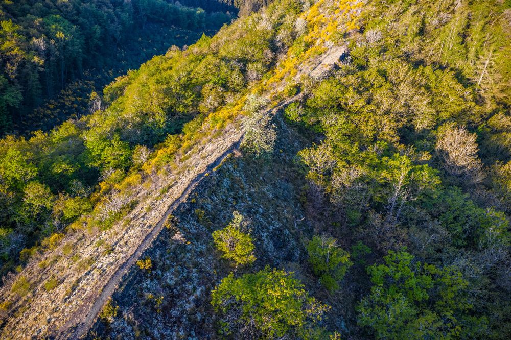
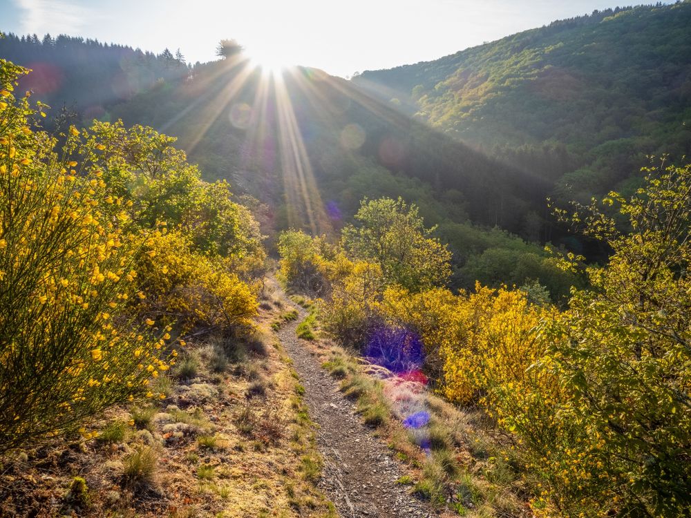
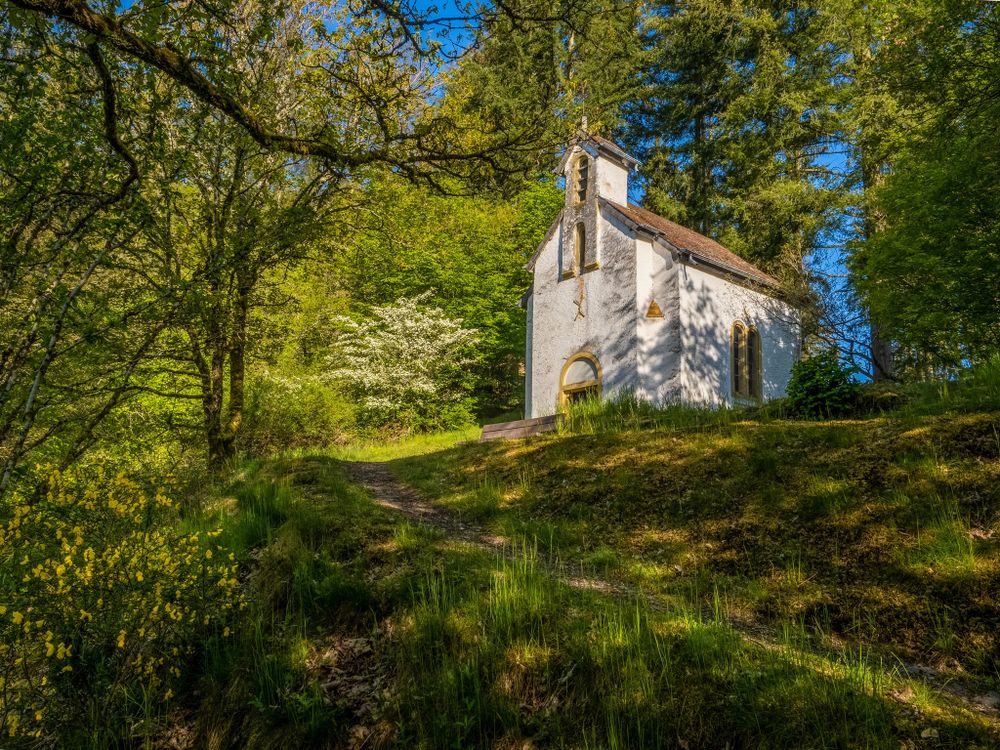
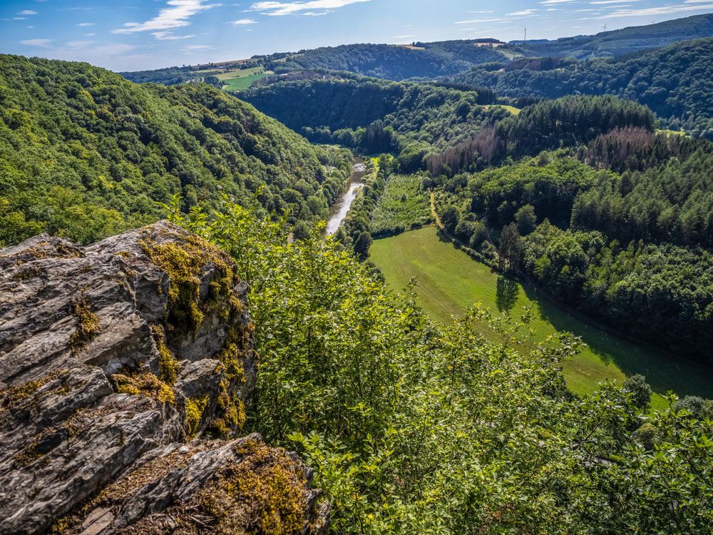
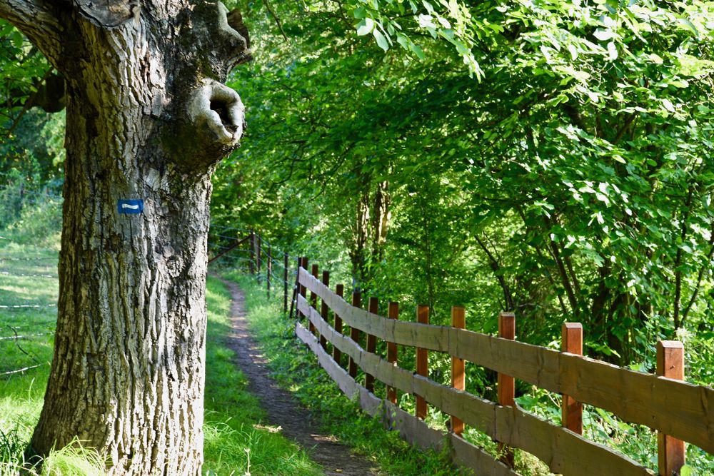
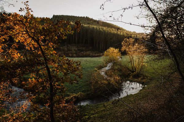
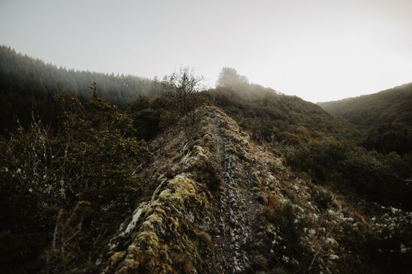
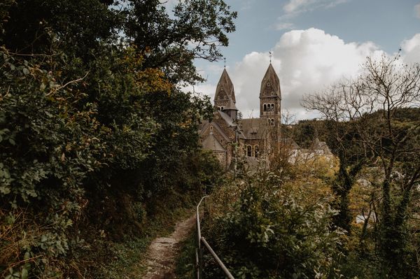
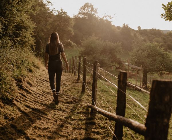
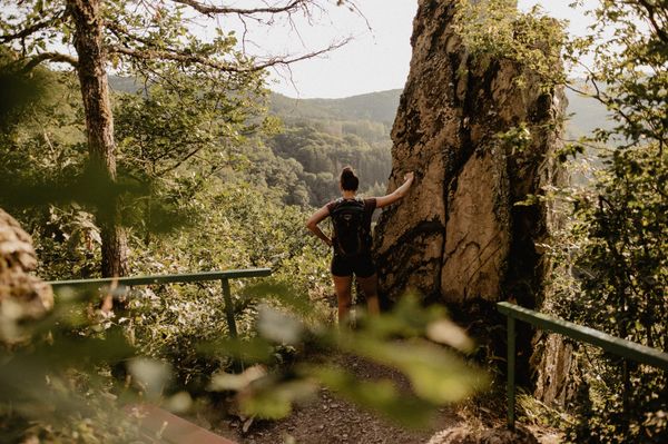
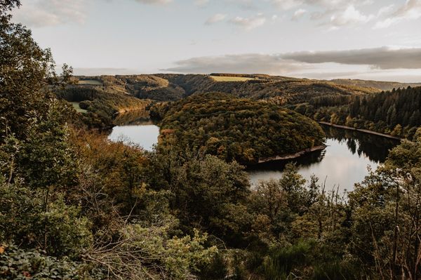
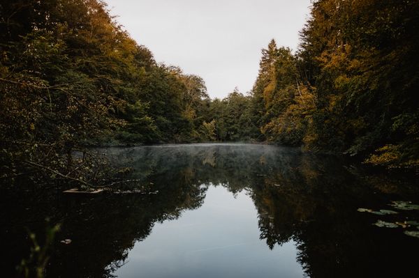
From Ettelbruck to Kautenbach, the "Escapardenne Lee Trail" runs through dense forest landscapes and quiet river valleys, always close to the railway connection. The long-distance trail offers you breathtaking landscapes combined with cultural highlights of the region.

With almost 2000 meters of positive height difference and more than 50 kilometres, this stage hiking trail is made for adventure seeking sporty hikers and nature lovers.

3 stages :

Ettelbruck - Bourscheid-Moulin: 18 km
Bourscheid-Moulin - Hoscheid: 20 km
Hoscheid - Kautenbach: 15 km


Suggestions nearby

Escapardenne Lee Trail

  • © Visit Éislek
    Molberlee
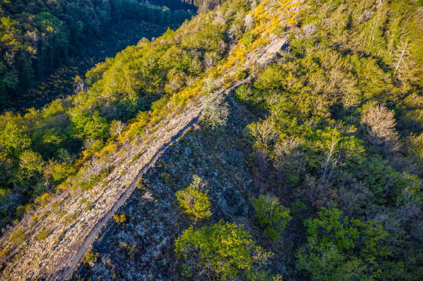
    The Molberlee near Hoscheid is an impressive mountain ridge that offers a breathtaking view of the Schlinder valley. The Molberlee is known for its unique biodiversity and has been designated a forest reserve and natural monument.
    Find out more
  • © Visit Éislek
    free
    with theLuxembourgCard
    General Patton Memorial Museum
    The General Patton Memorial Museum in Ettelbruck commemorates the commander of the 3rd US Army whose troops liberated the town on 25 December 1944. The exhibition illustrates the most important events that occurred during the Second World War in Luxembourg.
    Find out more
  • © Visit Éislek
    Viewpoint Gringlee
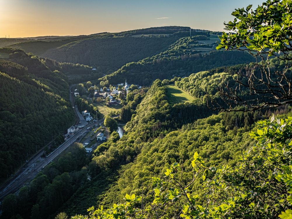
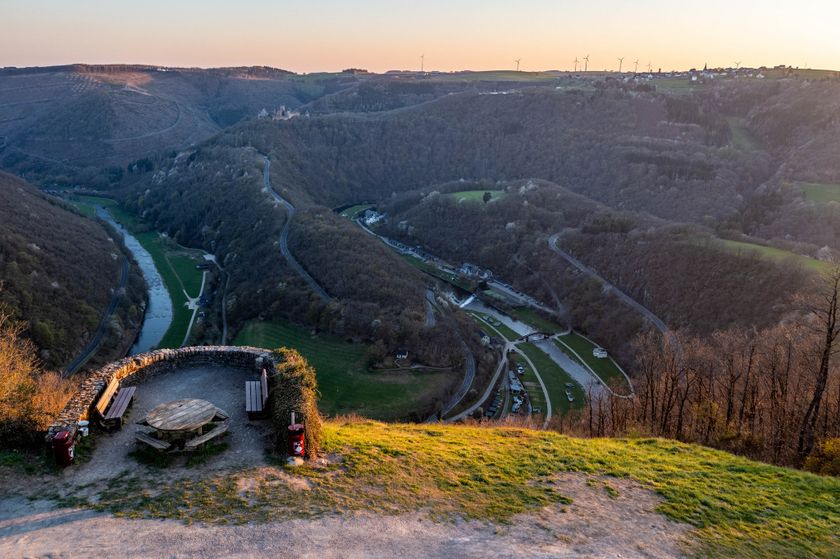
    The ‘Gringlee’ viewpoint, also known as ‘Gringlay’, offers an impressive panorama over the Sûre Valley and the majestic Bourscheid Castle. It is one of the most famous viewpoints in Luxembourg.
    Find out more
  • © Studio Frank Weber
    free
    with theLuxembourgCard
    Bourscheid Castle
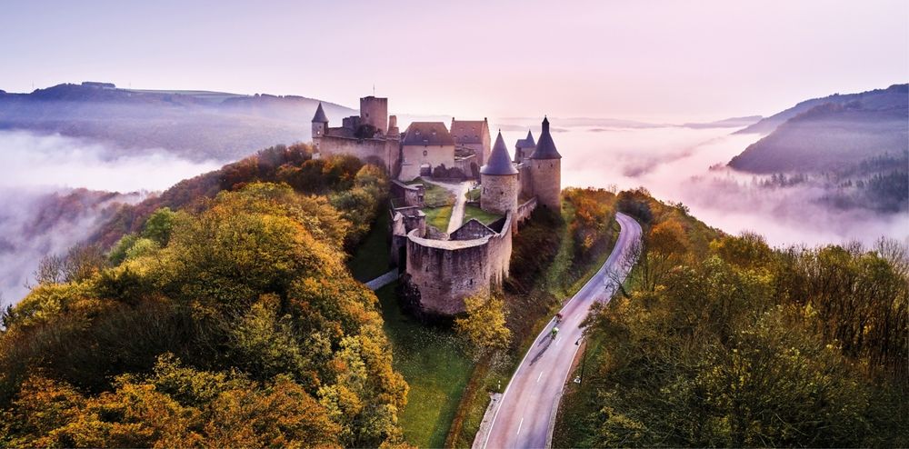
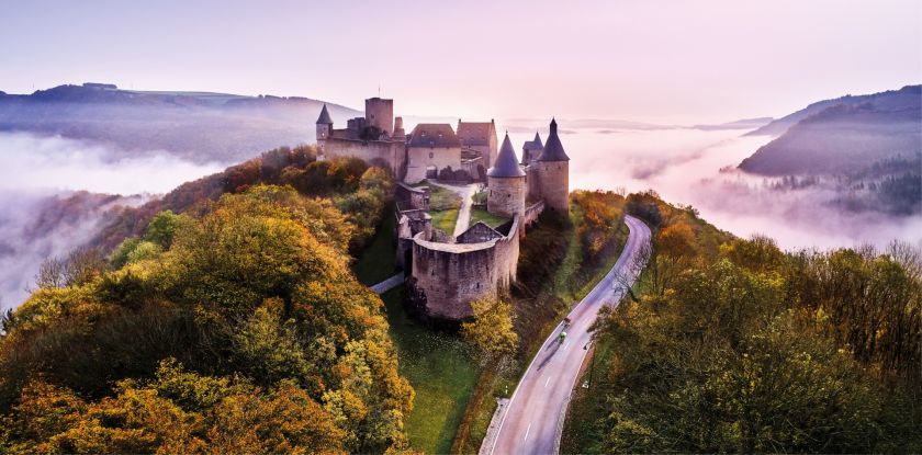
    Explore the fascinating Bourscheid Castle, where history meets breathtaking natural scenery. The imposing castle towers majestically over the Sûre valley and invites you to travel back in time to a bygone era. An unforgettable excursion the rich history of Éislek.
    Find out more

Similar hiking tours

© Visit Éislek, Visit Éislek
Éislek Pied
Éislek Pad Hoscheid
Distance: 11,63 km
Duration: 4:00 h
Difficulty: difficult
Find out more
© Visit Éislek, Visit Éislek
Éislek Pied
Éislek Pad Kalborn
Distance: 9,03 km
Duration: 2:50 h
Difficulty: difficult
Find out more
© Visit Éislek, Visit Éislek
Éislek Pied
Éislek Pad Kautenbach
Distance: 14,48 km
Duration: 5:05 h
Difficulty: difficult
Find out more
© Visit Éislek, Visit Éislek
Éislek Pied
Éislek Pad Troisvierges
Distance: 19,34 km
Duration: 5:45 h
Difficulty: difficult
Find out more
© Visit Éislek, Visit Éislek
Circular routes
Circuit du Lac (western part)
Distance: 26,71 km
Duration: 8:20 h
Difficulty: difficult
Find out more
© Visit Luxembourg
Thematic paths
Bunker Circular Walk
Distance: 13,84 km
Duration: 4:30 h
Difficulty: difficult
Find out more
© Visit Éislek, Visit Éislek
Circular routes
Local hiking trail KI 8 - Kautenbach
Distance: 17,03 km
Duration: 5:35 h
Difficulty: difficult
Find out more
© Visit Éislek, Visit Éislek
Distance trails
Sentier Adrien Ries (northern part)
Distance: 21,04 km
Duration: 6:10 h
Difficulty: difficult
Find out more
© Visit Éislek, Visit Éislek
Distance trails
Sentier Adrien Ries (southern part)
Distance: 23,06 km
Duration: 6:25 h
Difficulty: difficult
Find out more