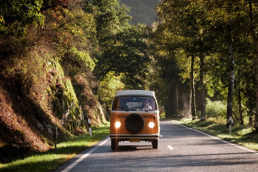
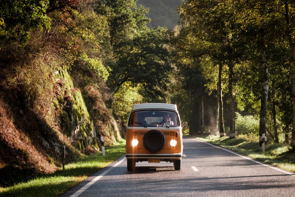
With its 450 kilometres, the Grand Tour du Luxembourg offers a fantastic opportunity to discover the country and its regions at your own pace. Approximately 180 kilometres of this route traverse Éislek. On such a road trip through Éislek, the journey itself becomes an adventure full of unforgettable moments and exciting discoveries.
A Road Trip in Northern Luxembourg Éislek Tour
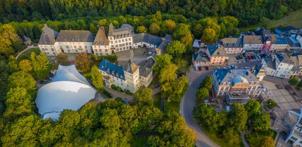
From Diekirch to Vianden — Town centre, Medieval Ruins, and Castle
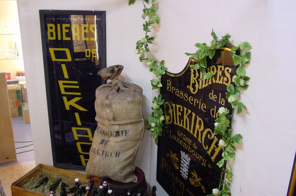
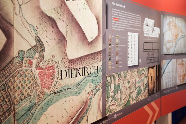
Via Gilsdorf, the Grand Tour du Luxembourg leads into Éislek. Shortly afterwards, a short detour to Diekirch is definitely worthwhile. In the city centre's pedestrian zone there are numerous places to stop for refreshments, but also various museums that are just waiting to be visited. The National Museum of Military History is a little out of the way, but gives an excellent overview of the so-called Battle of the Bulge, which devastated the north of the country during World War II.
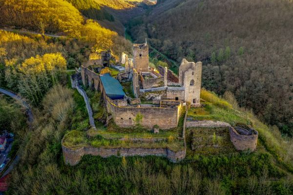
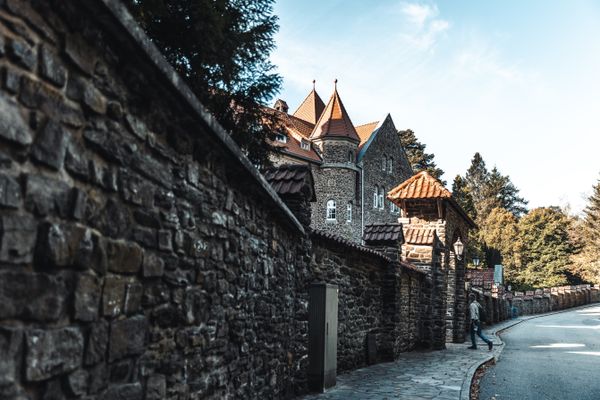
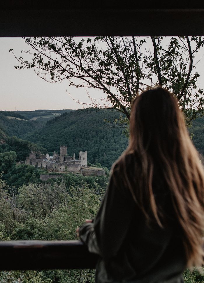
Passing through Bastendorf, the road leads to Brandenbourg. Looking up, travellers can catch sight of the majestic ruins of an ancient castle. For those interested, there's a secure circuit with informational panels to explore the building up close.
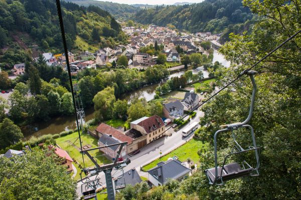
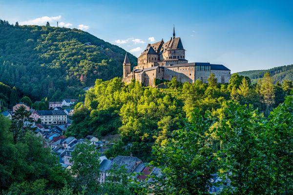
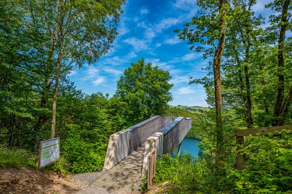
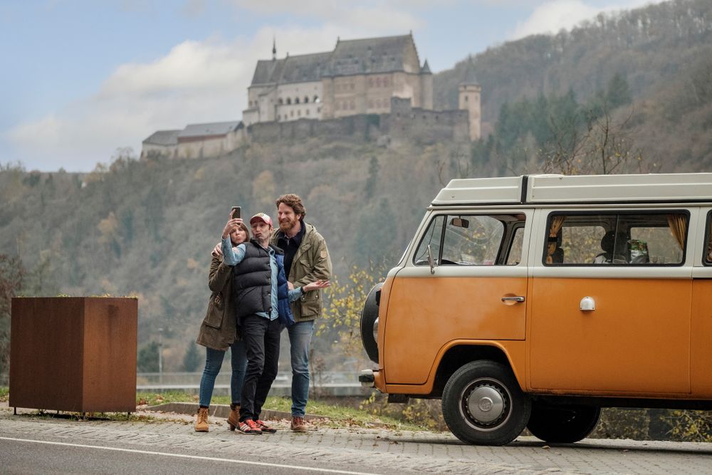
The road trip then passes by the upper basin of the hydroelectric plant and leads to Vianden. Before descending into the historic city center, a stop at the panoramic platform on Rue de Diekirch is a must, as the view of Vianden Castle is breath-taking.
From Vianden to Ouren — Along the River
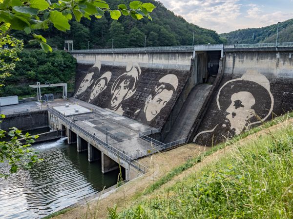
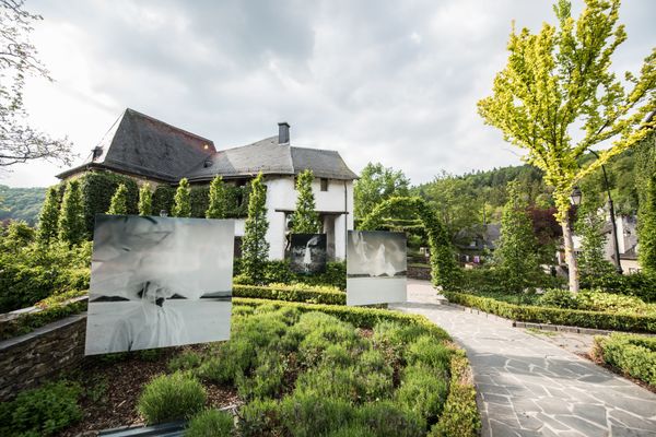
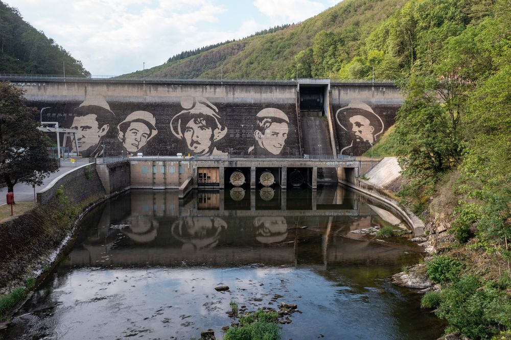
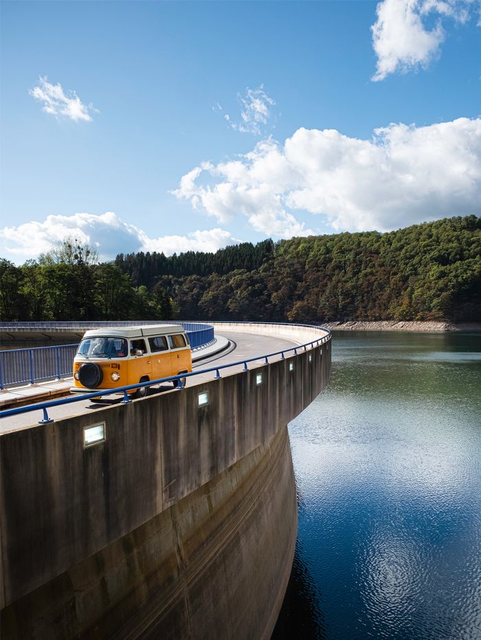
The route leaves Vianden in a northerly direction, always along the Our. At the end of the town, it passes the dam wall. This is currently the setting for an unusual piece of art that shows the faces of five workers who were involved in the construction of the dam in the 1950s and 1960s.
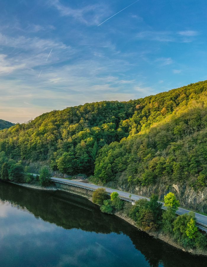
Following the river, the road leads to Stolzembourg, where copper was once mined. The route winds along the meandering Our and its beautiful natural panoramas. Eyes open: attentive observers sometimes spot small or larger wild animals here!
At Dasbourg-Pont, the road leaves the valley. Passing through Marnach, Reuler, Urspelt, Hupperdange, and Heinerscheid, it leads to the peaceful village of Lieler and returns to the Our valley.
Here, the itinerary takes a short detour of a few kilometers to Ouren and Peterskirchen, crossing the Belgian border. The route is not marked there. To continue following the itinerary, turn left at the first opportunity towards the Luxembourg border.
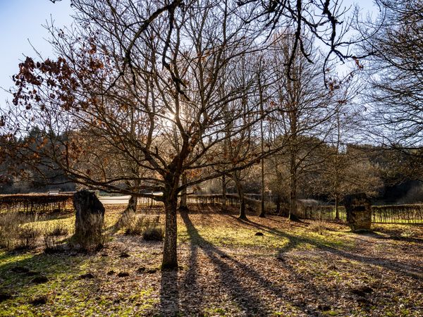
This border is a very special place, a tripoint between Luxembourg, Belgium, and Germany. The three national borders meet at the confluence of the Réibech and the Our rivers. Precisely at this location is the European Monument Park, where stone blocks symbolize the six founding members of United Europe.
From Weiswampach to Clervaux via the highlands
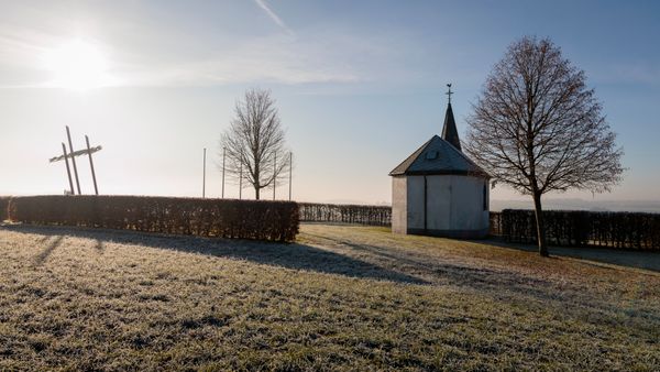
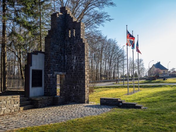
After a steep ascent, the road trip continues towards Weiswampach, passing by the Lancaster Memorial, which pays tribute to the crews of two Lancaster bombers who fell during World War II. From here, there is also a magnificent view of the "Éisleker Koppen", typical hills of the region.
Leaving Weiswampach, travellers head to the far north of Luxembourg, up to the Belgian border. The Burrigplatz and its water tower, a few kilometres further along the route, were considered the highest point in the country for many years. However, in the late 1990s, it turned out that a hill in the neighbouring municipality of Wilwerdange was exactly 1,78 meters higher. In any case, a break at the foot of the water tower is highly recommended to admire the surrounding landscape.
Via Huldange, Goedange, and Wilwerdange, the roadtrip leads to Binsfeld, where a rural museum is located. Visitors can learn about the way locals lived in the early 20th century.
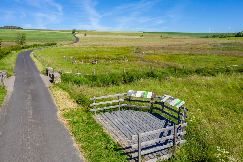
After Sassel and Asselborn, the road trip continues to the Trëtterbach valley, where significant renaturation work has been carried out. The meanders of the stream have been restored, bringing the landscape back to its original state. A small wooden platform along the road allows visitors to get a closer look at the project.
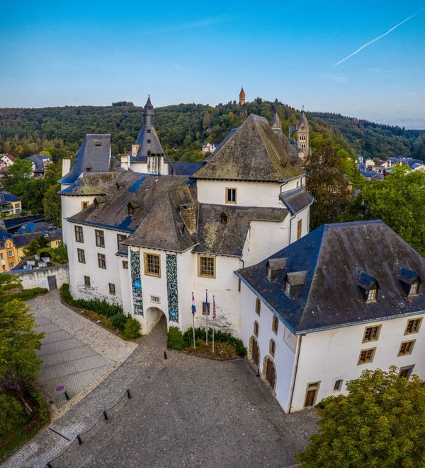
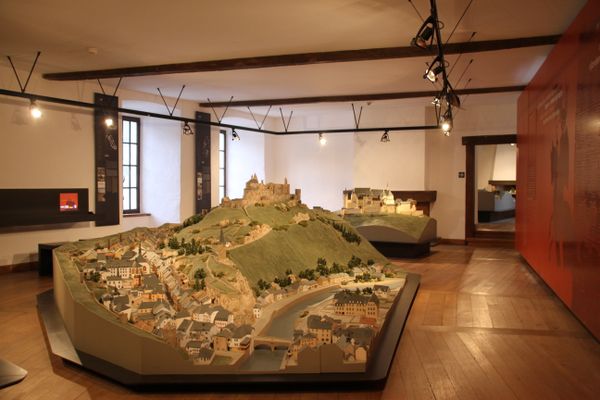
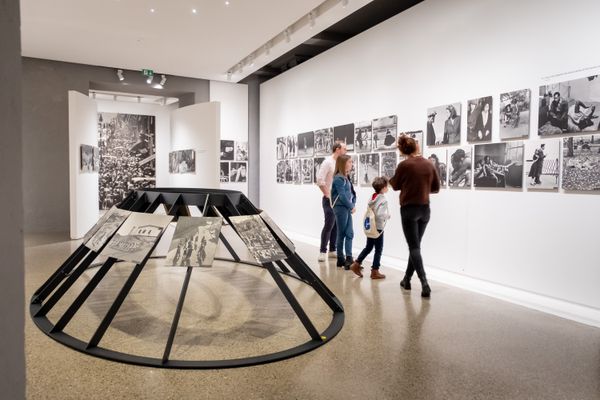
The route now crosses typical villages around Wincrange before reaching Clervaux, a popular hotspot. The magnificent Benedictine abbey towers over the town, while the impressive castle, located in the centre of the locality, houses three permanent exhibitions, including the famous "The Family of Man" photo collection. The pedestrian area in the heart of the town invites you to stroll around with its shops, cafes, and terraces.

From Clervaux to Wiltz — a succession of bends.
This part of the road trip crosses particularly wooded and natural landscapes, characteristic of the region. It passes through several typical localities, with stone farms, narrow streets, and small streams.
The hairpin bends of Kautenbach are undoubtedly a highlight of the route. A steep descent and magnificent views lead to this peaceful locality.
Along the railway line, the itinerary leads to Wiltz, the capital of the Luxembourg Ardennes. This former industrial town has lived for centuries on tanning, as evidenced by numerous buildings that still stand today.
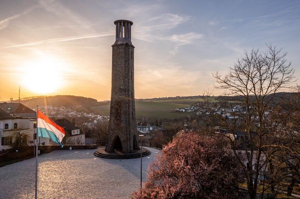
The impressive "Monument of the Strike," located directly on the route, commemorates a general strike triggered in 1942 after the introduction of compulsory military service. This strike gradually spread throughout the country and resulted in a total of 21 casualties. From the top of the structure, the most daring can admire a breath-taking view of the locality.
From Wiltz to the Upper-Sûre Dam, Luxembourg's drinking water reserve
From Wiltz, the itinerary passes through Büderscheid to the Schumannseck crossroad, a national memorial where traces of the bloodiest battles of the Ardennes during the winter of 1944-1945 can still be seen. Today, a commemorative trail allows visitors to discover the remnants. Sixty-five life-size silhouettes and reconstructions of military shelters give an idea of what happened there. The commemorative trail is directly along the Grand Tour du Luxembourg route.
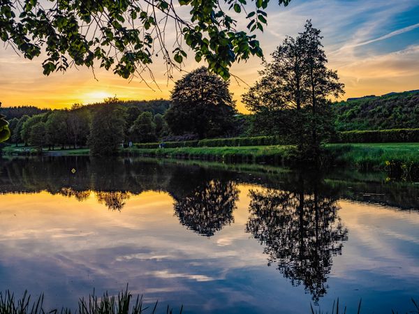
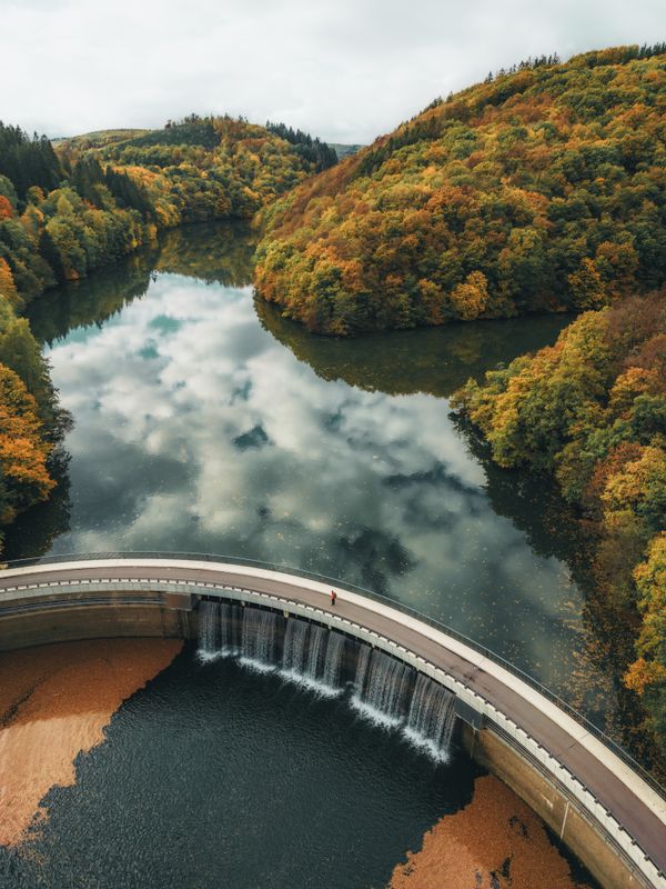
After passing through Nothum and Kaundorf, you reach the Upper-Sûre Lake. After Kaundorf, a stop at the parking lot on the right side of the road is a must, especially at sunset. This is where the first magnificent views of this stretch of water unfold.
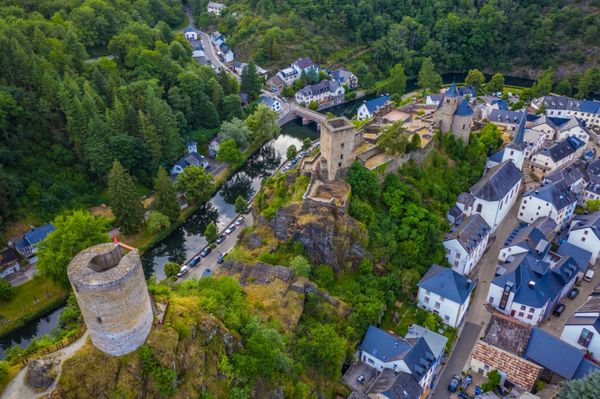
Those who want to take a little detour can visit the medieval town of Esch-sur-Sûre. The narrow streets invite strolling, while the climb to the castle is rewarded with a panoramic view. A visit to the drapery allows discovering the region's rich industrial past.
The Upper-Sûre Lake, towards which the road trip heads next, is located in the heart of a natural park and is one of the most beloved relaxation and hiking spots in the country. It also serves as the largest drinking water reserve and contributes to electricity production.
©Visit Luxembourg ScenicÉislek Tour - Grand Tour du Luxembourg
Distance: 255,96 kmFind out more
Duration: 3:55 h
Difficulty: difficult
Practical Information: Signage and GPS traces
- This road trip through Luxembourg is signposted approaching intersections but not at the intersections themselves. Signage indicates the direction to follow only when the route changes direction. When the route continues on the same road, no markings are made. The itinerary can only be travelled in one direction (counterclockwise, as described above).
- Signage consists of 30 x 30 cm panels with a white background and a dark green arrow indicating the direction. The logo of the Grand Tour du Luxembourg is always located below the arrow.
- A navigation device (phone or dedicated device) is necessary to follow the route; existing signage is only an aid, and there is no regular signage along the entire itinerary. The signs only indicate if the direction or route changes.

