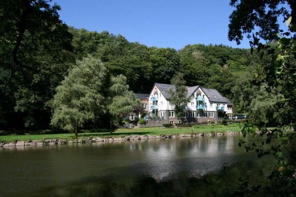
Lee Trail

Overview of the trail
1 results
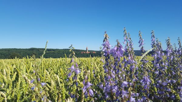
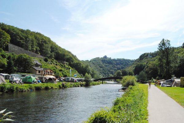
©Visit Éislek, Visit Éislek Escapardenne - Leading Quality Trails - Best of EuropeScenicEscapardenne Lee Trail
Distance: 51,23 kmFind out more
Duration: 16:50 h
Difficulty: difficult

The stages of the Lee Trail
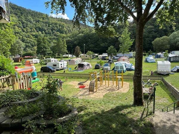
The Lee Trail is divided into three stages of similar distance and difficulty. It goes without saying that the route can be adapted to suit the physical condition of each individual. For those wishing to use public transport, there are alternative routes from station to station.


Overview
6 results