
© Visit Éislek
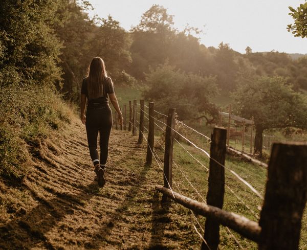
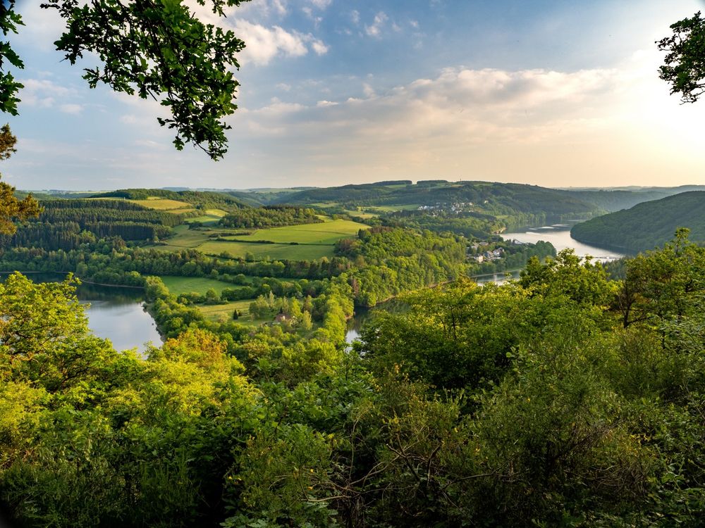
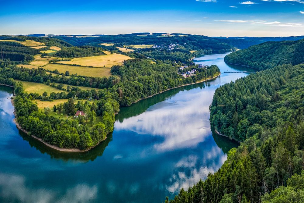
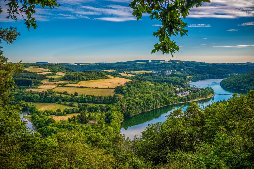
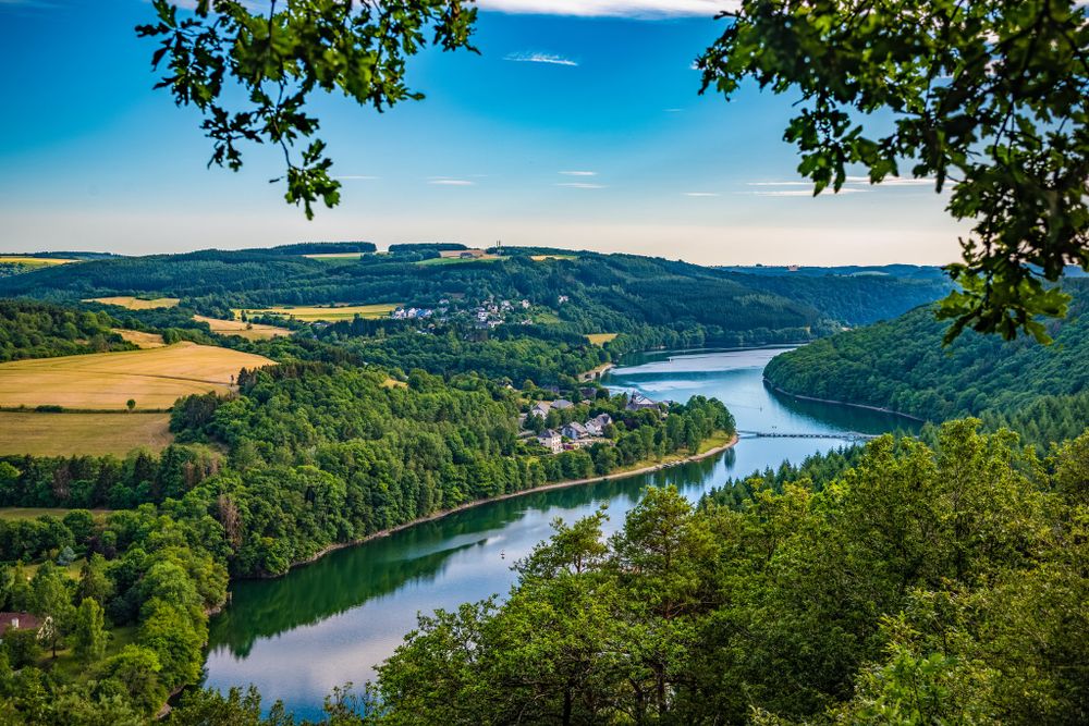
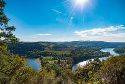
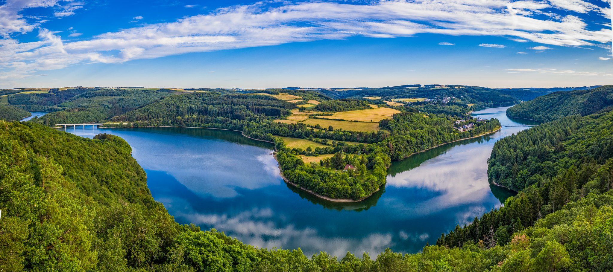
Runtschelt viewpoint
A popular vantage point near Kaundorf that offers a panoramic view of the Upper Sûre Lake.
Runtschelt viewpoint south of Kaundorf offers a breathtaking view of the Upper Sûre Lake. A hike there is particularly worthwhile at sunrise and sunset, when the sky is bathed in beautiful colours.
A bench at the viewpoint invites you to linger - a popular photo subject that is also often seen on social media.
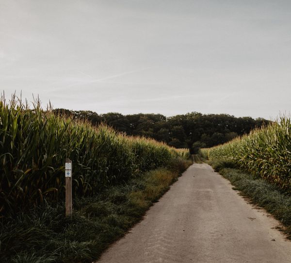
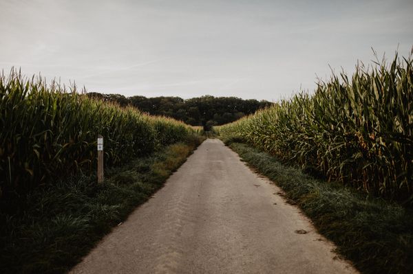
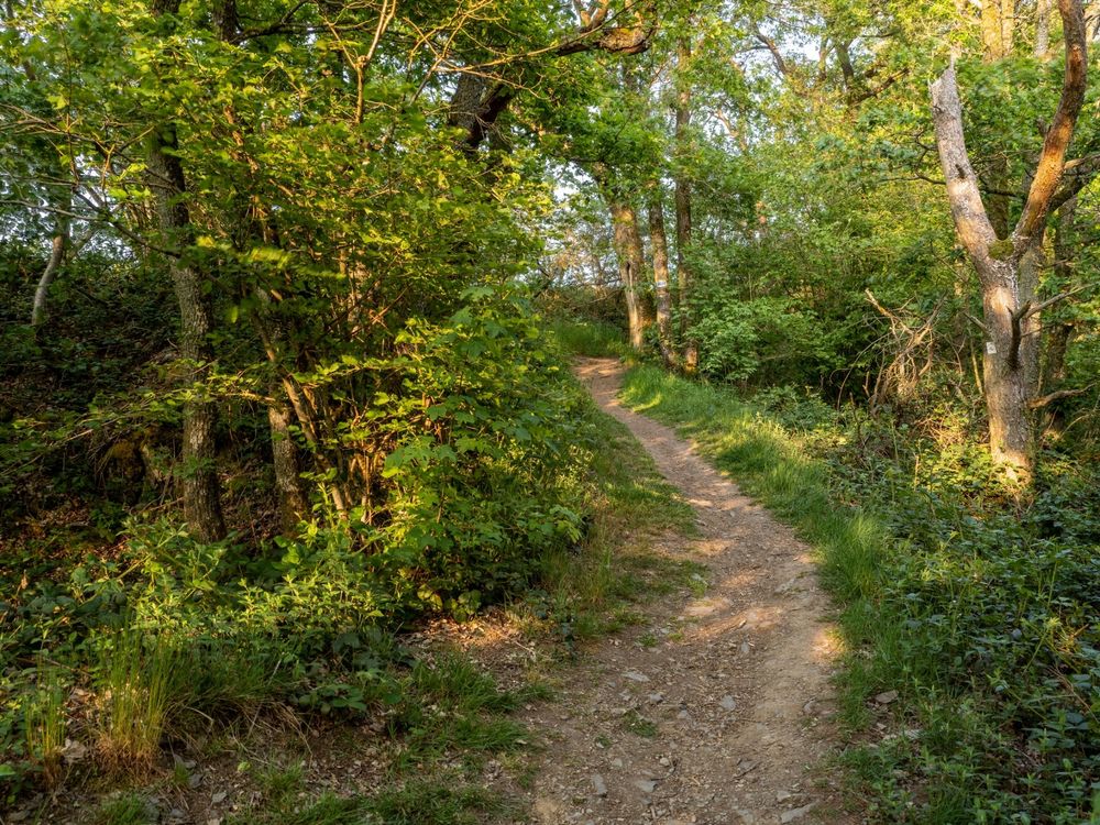
The viewpoint can only be reached on foot via the LH 1, LH 2 and LH 7 hiking trails, as well as via the Kaundorf Autopédestre and the eastern section of the Circuit du Lac.
Opening hours