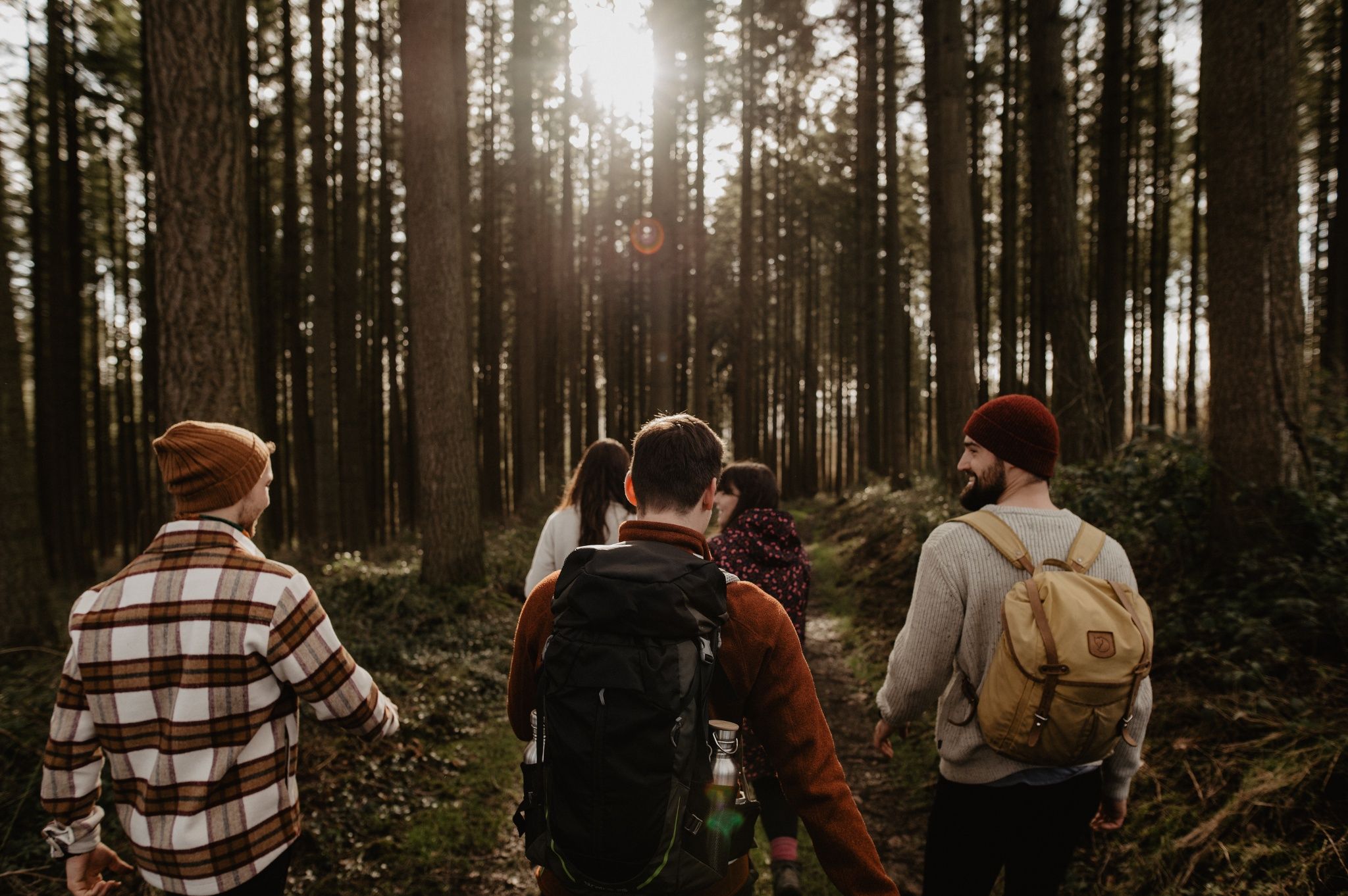
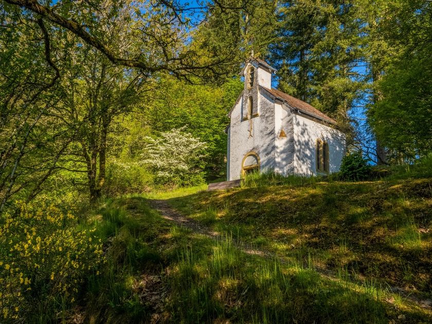
© Visit Luxembourg
Éislek Germany France

Bunker hiking route

Hunting Season 2025/26 — Check for hunts

Autumn is here, and that means hunting season has begun! From mid-October to January/February, hunters are active across the country. Stay safe by checking hunt dates in your area on our Map. 

Click on Map in the Header > Services > More > Hunting.

Starting point

Fridbësch

Destination

Fridbësch

Distance
13,84 km
Duration
4:30 h
Difficulty
difficult
  • Condition
Highest point
472 Hm
Lowest point
252 Hm
Aggregated Ascent
400 Hm
Aggregated Descent
400 Hm
Thematic paths Visit Luxembourg

Description

Scenic

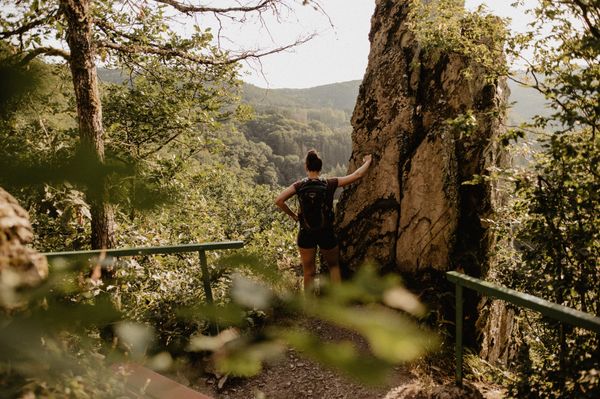
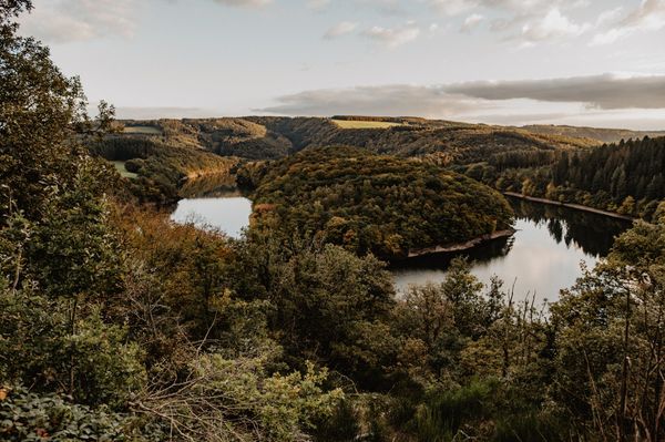
The variety of themed routes not only shows you the beautiful natural landscapes of the region but also provides information on a wide range of topics.

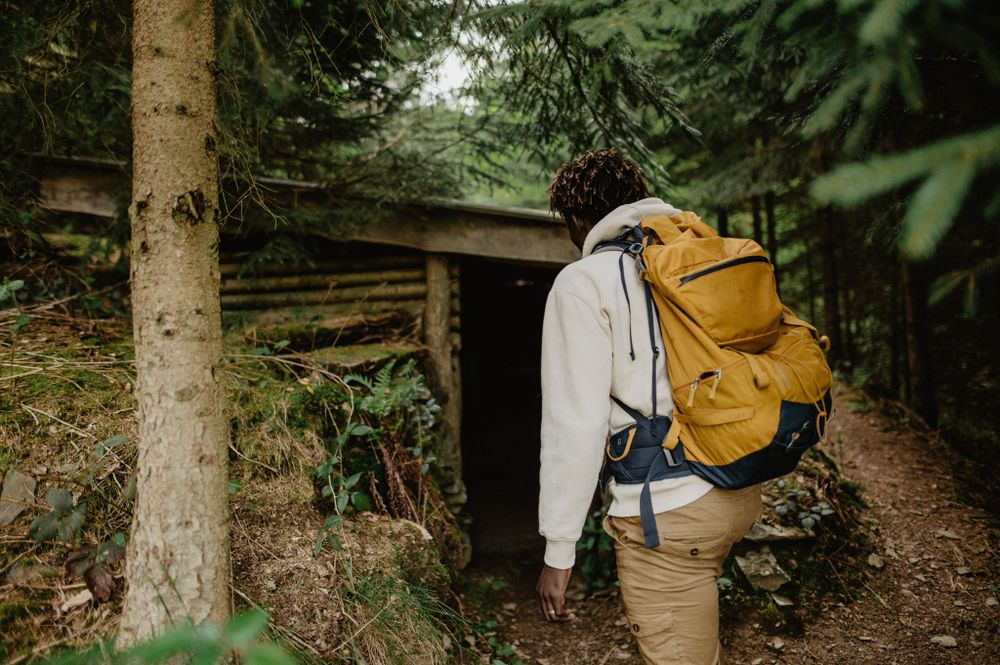
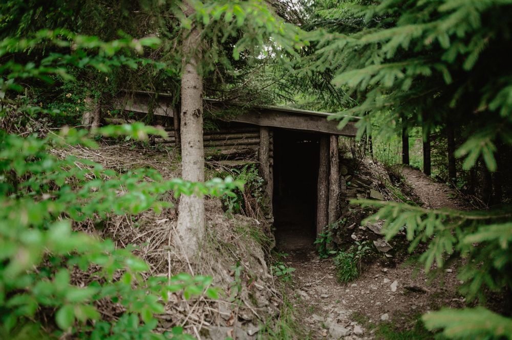
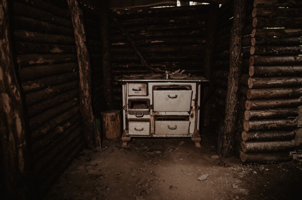
The "Bunker hiking route" starts in the place called "Friedboesch", about 2.4 km above Schlindermanderscheid.

During World War II, there were two bunkers in the nearby area.

During the war, several young Luxembourgish conscientious objectors and deserters from the Nazi regime found shelter in one of these bunkers. From the end of May until September 10, 1944, the day of the liberation of the Grand Duchy of Luxembourg, no fewer than 17 people stayed here. The inhabitants of the neighboring villages supplied the hidden people with food, despite controls and supervision by German soldiers.

Suggestions nearby

Bunker hiking route

  • Saint-Michel Chapel
    The Saint-Michel Chapel towers high above Oberschlinder, surrounded by forest and accessible via hiking trails.
    Find out more

Similar hiking tours

© Visit Éislek, Visit Luxembourg
Éislek Pied
Éislek Pad Bourscheid
Distance: 14,81 km
Duration: 5:05 h
Difficulty: difficult
Find out more
© Visit Éislek, Visit Éislek
Éislek Pied
Éislek Path Kautenbach
Distance: 14,44 km
Duration: 4:59 h
Difficulty: difficult
Find out more
© Visit Éislek, Visit Éislek
Circular routes
Circuit du Lac (western part)
Distance: 26,71 km
Duration: 8:20 h
Difficulty: difficult
Find out more
© Visit Éislek, Visit Éislek
Éislek Pied
Éislek Path Clervaux
Distance: 13,68 km
Duration: 4:05 h
Difficulty: difficult
Find out more
© Visit Éislek, Visit Éislek
Circular routes
Local hiking trail KI 8 - Kautenbach
Distance: 17,03 km
Duration: 5:35 h
Difficulty: difficult
Find out more
© Visit Éislek, Visit Éislek
Éislek Pied
Éislek Pad Troisvierges
Distance: 19,34 km
Duration: 5:45 h
Difficulty: difficult
Find out more
© Visit Éislek, Visit Éislek
Distance trails
Sentier Adrien Ries (northern part)
Distance: 21,04 km
Duration: 6:10 h
Difficulty: difficult
Find out more
© Visit Éislek, Visit Éislek
Distance trails
Sentier Adrien Ries (southern part)
Distance: 23,06 km
Duration: 6:25 h
Difficulty: difficult
Find out more
© Visit Éislek, Visit Éislek
NaturWanderPark Delux
NaturWanderPark delux - Nat'Our Route 2
Distance: 17,94 km
Duration: 5:25 h
Difficulty: difficult
Find out more
outdooractive This website uses technology and content from the Outdooractive Platform.