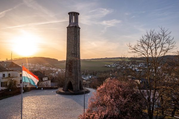


Antimonmine – Abandoned mine
Where? L-9653 Goesdorf
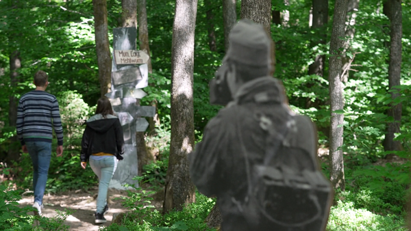
Amidst the tranquil landscape, Goesdorf's geological tapestry reveals remnants of shafts and galleries, preserving the legacy of this "foundry village."
Nestled in the tranquil landscape of Goesdorf, the history of antimony mining unfolds, revealing a tale that spans ancient civilizations to the industrial prowess of the 19th century. Antimony, a malleable metal known to the Egyptians for cosmetic purposes, found a later application in printing, enhancing the quality of lead and tin typesetting.
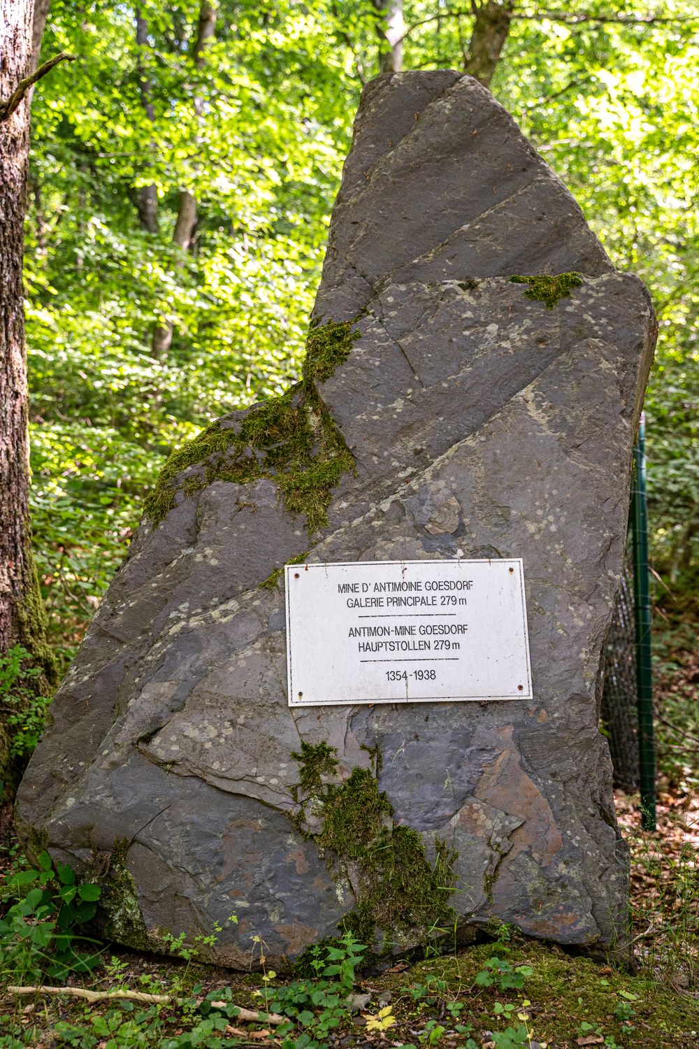
Originally named "Gießdorf," meaning "foundry village," Goesdorf was once an industrial hub renowned for its antimony deposits. Traces of mining, dating back to Roman times, became more tangible with the first concession granted in 1354. In 1935, the discovery of a colossal 52-kilogram block of antimony solidified Goesdorf's place in mining history, marking it as the site of one of the world's largest antimony findings. However, the mine closed its doors for good in 1938.
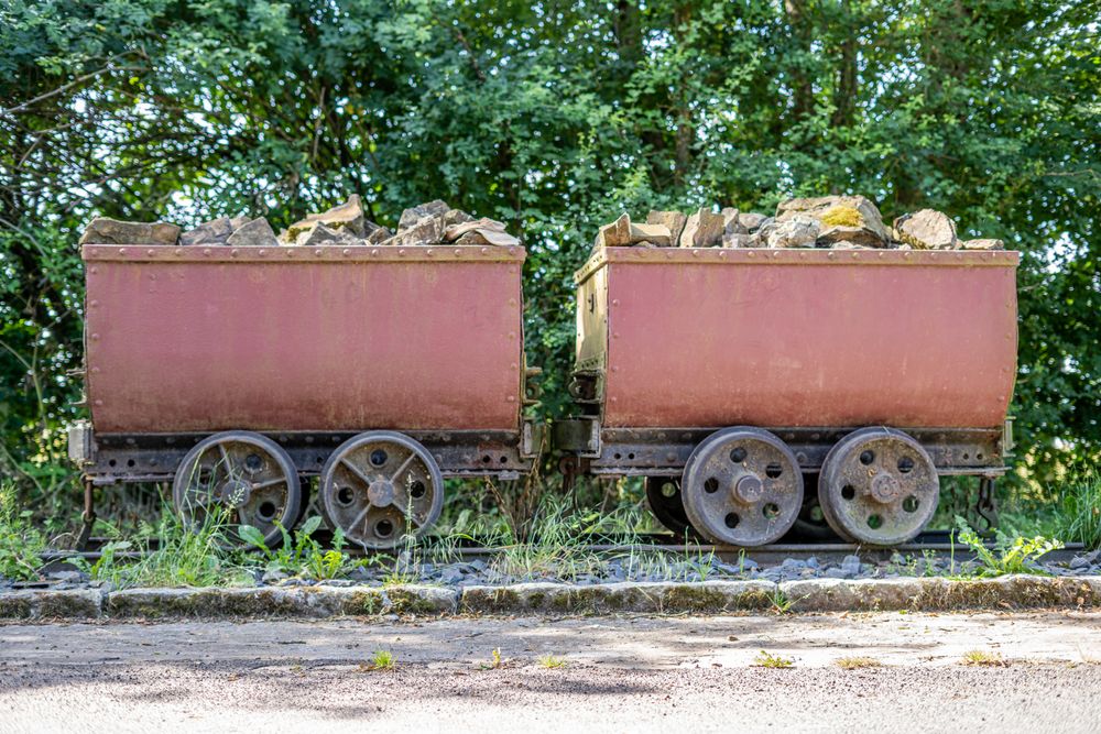
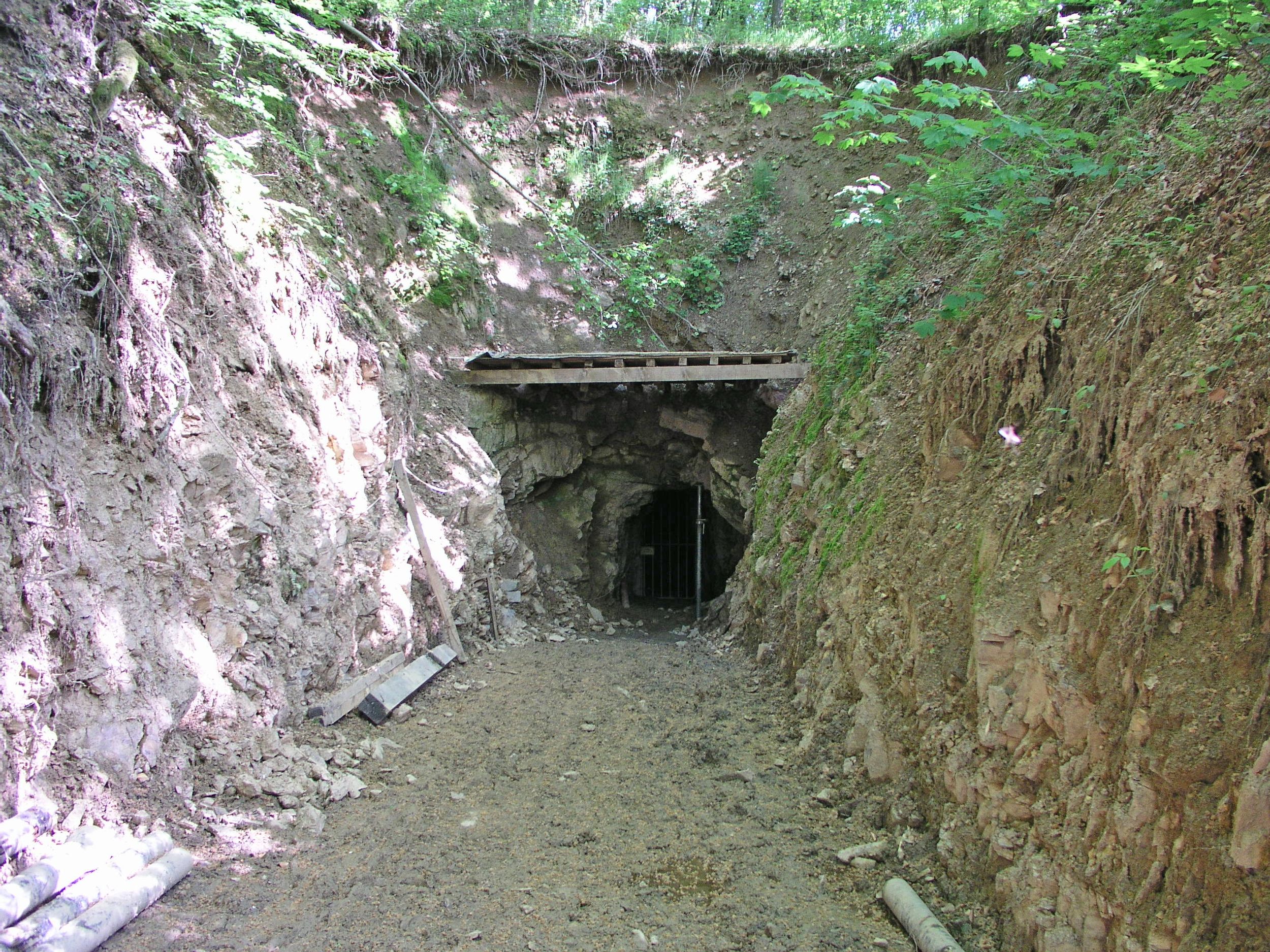
Despite the absence of visible mining remnants, the landscape conceals the once vibrant economic heart of the village. Mining, a labyrinth of shafts and galleries, shaped the terrain.
The geological intricacies of the vein of ore are unveiled, with a metal plate symbolizing its orientation. The Goesdorf antimony mine witnessed two significant exploitation periods. The initial phase, known as the "Mine des Anciens," delved into galleries and three shafts, reaching a depth of 26 meters. The subsequent stage involved a 72-meter deep inclined shaft and an extended gallery network, totaling over 800 meters.
From the mine site, there is a 70-metre climb through the forest to the clearing, reflecting the total height of the mine's main shaft. A gallery extending 260 meters underground served as the drainage gallery, evacuating water, transporting equipment, and managing spoil. The perilous condition of this gallery makes it inaccessible, but it harbors a niche carved into a rock, possibly intended for the statue of St. Barbara, the patron saint of miners.