Overview of the trail
1 results
slide 1 of 1
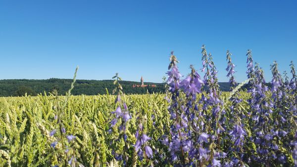
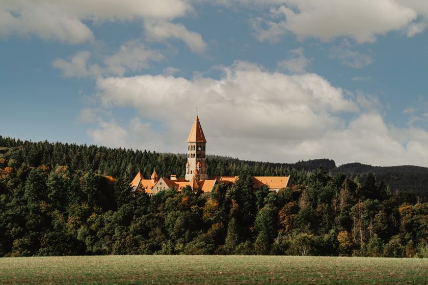
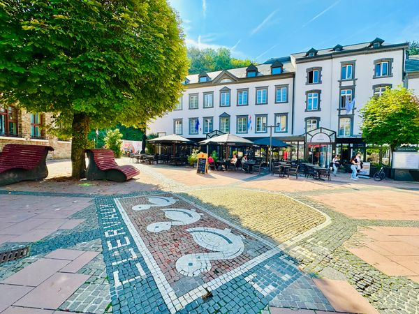
- © Visit Éislek, Visit ÉislekEscapardenne - Leading Quality Trails - Best of EuropeScenic
Escapardenne Éislek Trail
Distance: 106,95 kmFind out more
Duration: 32:10 h
Difficulty: difficult
The stages of the Éislek Trail
The Éislek Trail is divided into 5 stages of similar distance, which are described below. Depending on individual fitness levels and preferences, it is of course possible to divide the route differently or shorten the stages to make them easier. There are also alternative stages, allowing you to walk from station to station between Kautenbach and Troisvierges.
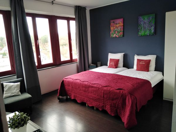
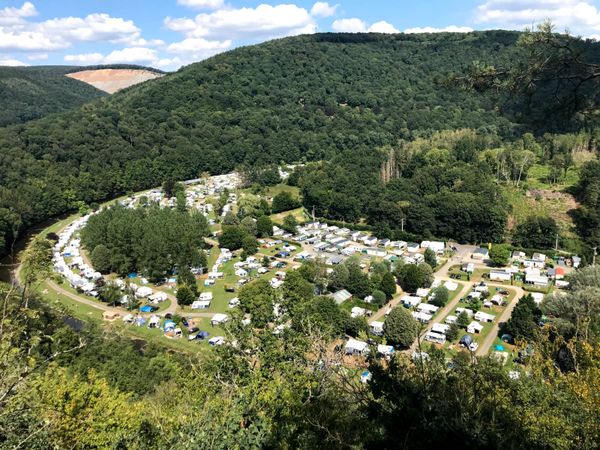
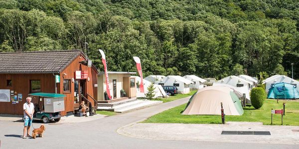
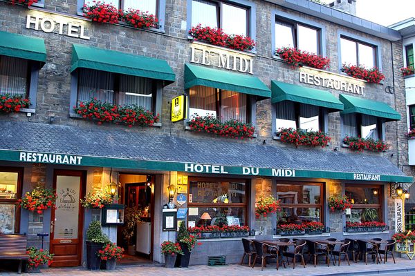
slide 1 to 3 of 6


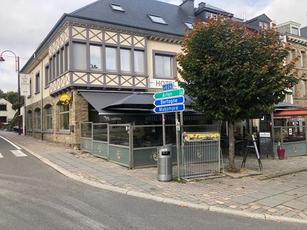
slide 1 to 3 of 3
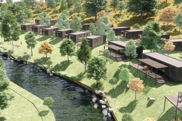
slide 1 to 3 of 6

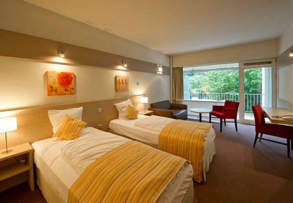
slide 1 to 3 of 6

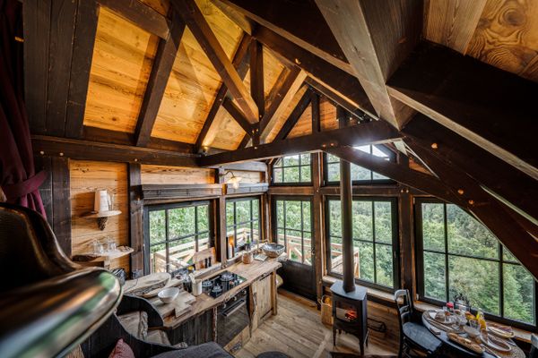
slide 1 to 3 of 5

More information about the trails?
Page overview
6 results